A Deere in satellites
A Deere in satellites |
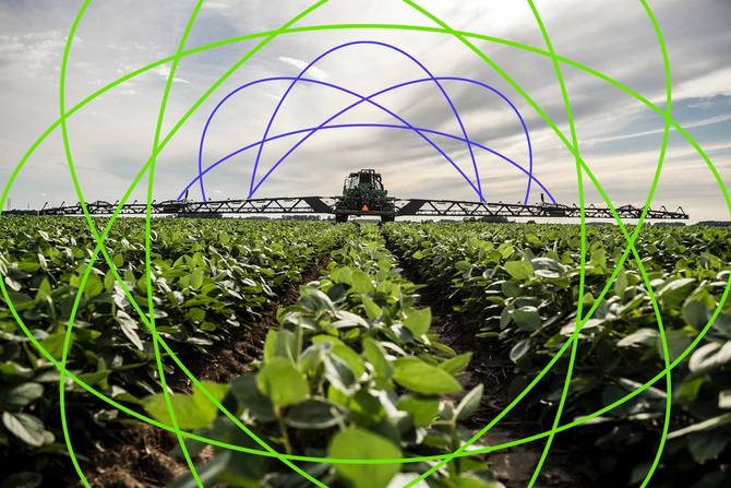 Illustration: Dianna “Mick” McDougall, Photo: John Deere
From soil to sky, the agricultural industry has largely embraced the digital revolution. Ag companies have integrated drones, machine learning, AI, and automation into their everyday operations, all with the aim of helping farmers save time, money, and labor. Look up: Soon, you may be able to add satellites to the list. John Deere, which has previously debuted tech like self-driving tractors, crop-spraying drones, and weed-identifying sprayers, said in January that it was “finalizing a satellite partner” in an effort to create geospatial maps to help analyze crop growth and bring connectivity to remote and rural farmers.
Look ahead: As farm equipment becomes smarter—decked out with sensors and layered with AI—connectivity will become more important to growing operations, Scott Duncan, partner and head of Americas Agribusiness practice at Bain & Company, told us. |


Comments
Post a Comment